Other · Brockenhurst
Whitefield Moor Car Park
Rhinefield Road, Brockenhurst, SO42 7QD
- Parking
- Onsite paid
- Step-free
- Not given
- Nearest station
- Brockenhurst, 46 min
- Room for
- Not given
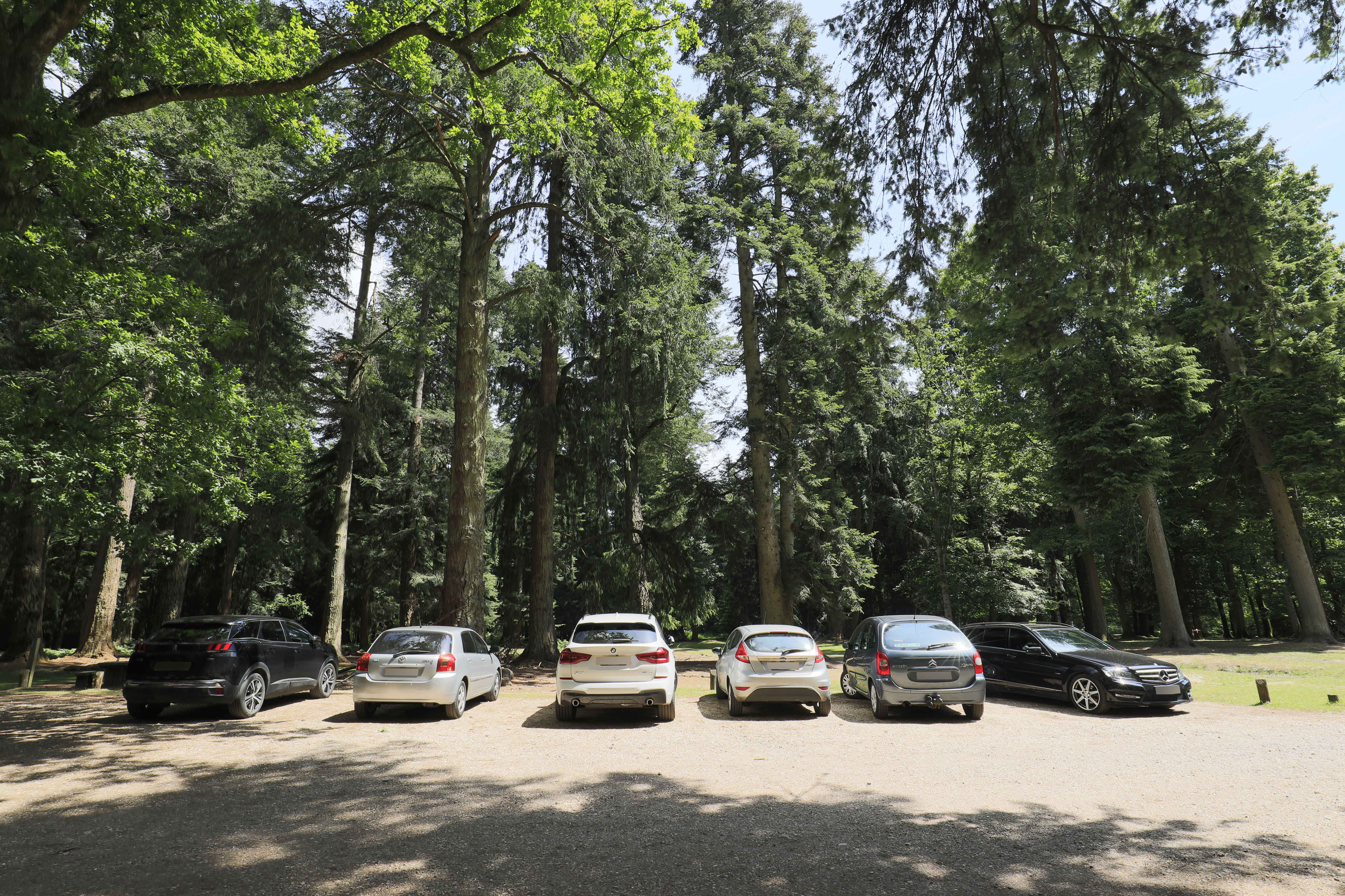
About Whitefield Moor Car Park
A Forestry England car park on Rhinefield Road on the open heath west of Brockenhurst, used as the meeting point for National Park netwalks. The National Park Authority's short netwalks start here on mostly even paths across the moor. There are public toilets at the car park.
- Paid parking
Finding the door
Meet in the Whitefield Moor Forestry England car park, off Rhinefield Road (what3words circus.waiters.firmer per the organiser)
The netwalk group gathers in the car park; look for the National Park Authority education team. Booking is required.
- Free netwalk, booking required
- Ground can be muddy; wear weather-appropriate clothing
Parking
Forestry England pay car park, open 04:00–23:00. Pay by RingGo (no machine at this site per the Forestry England list); Blue Badge holders pay too. The Eventbrite map pin sits about 430 m south-east at Whitemoor car park, so follow the car park name rather than the pin.
Whitefield Moor (Forestry England)
On site
Forestry England charges since 20 April 2026: £1.50 for 1 hour, £3 for 2 hours, £5 for 4 hours, £8 for over 4 hours…
Open 04:00–23:00 every day; no parking 23:00–04:00
Puttles Bridge (Forestry England)
Nearby · 7 min walk
Forestry England charges since 20 April 2026: £1.50 for 1 hour, £3 for 2 hours, £5 for 4 hours, £8 for over 4 hours…
Open 04:00–23:00 every day; no parking 23:00–04:00
Getting here
Reached by car along Rhinefield Road, about 3 km west of Brockenhurst village; Puttles Bridge car park is just beyond it. No bus stops nearby. Brockenhurst station is about 2.8 km away in a straight line (roughly 45 minutes on foot).
Brockenhurst · 46 min walk
South Western Railway
Straight-line estimate; a taxi or bike is more practical
Inside
Access: The organiser describes the 1-mile walk as an accessible route on mostly even paths with two bridges; the gravel car park surface and toilets are marked 'limited' wheelchair access in OpenStreetMap.
- Toilets
- Public toilet block at the north end of the car park (OpenStreetMap; the organiser confirms toilets are available)
- Food and drink
- None at the car park; Brockenhurst village is about 3 km east.
These details were gathered from public sources and have not been confirmed by the venue yet. General information only: check with the venue or organiser before you travel.